Take your pick: adrenaline packed or slow and contemplative?


See all
3 photos
Saint-Malo is one of the highest municipalities in Quebec. At an altitude of 640 metres, local residents live in an environment of forests, farms, and waterways that supply their livelihood. The parish of Saint-Malo was established in 1863 by French Canadians and incorporated as a municipality in 1910. The town's name evokes the Welsh monk Malo, missionary bishop of Brittany, and refers to the homeland of Jacques Cartier, explorer of the New World. La Montagnaise, a 10-metre observation tower built in 1995 provides a view of the countryside as far as the eye can see. A rest area is also accessible on Route 253.
Beaches
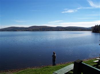
Lake Wallace BeachSaint-Herménégilde
Hiking networks
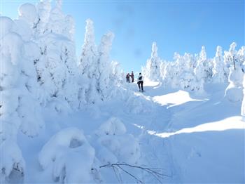
Mont Hereford / Hiking TrailsEast Hereford
Hiking networks
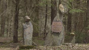
Les Amis du patrimoine de Saint-Venant-de-PaquetteSaint-Venant-de-Paquette
Mountain biking
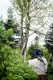
Circuits FrontièresEast Hereford

Cross-Country Skiing and Snowshoeing
Circuits FrontièresEast Hereford