X
Marker
Marais de la Rivière-aux-Cerises
(Magog)
Leaflet Map data © OpenStreetMap contributors
SEE THE ITINERARY
Marker
Marais de la Rivière-aux-Cerises
(Magog)
Leaflet Map data © OpenStreetMap contributors
SEE THE ITINERARY

Marais de la Rivière-aux-Cerises

As a couple, family or with your dog, come make some fine discoveries by walking the 5.8 km of trails crossing various ecosystems. Minutes from downtown Magog, in addition to the trails, an observation tower, a large picnic area and a long bridge on stilts, come discover everything the marsh has to offer in all seasons. The trails are easily accessible and free via Roy Road or the Du Moulin parking lot. Come learn about the marsh by visiting the interpretation centre. Guided visits of the marsh by kayak are offered in July and August. Contact us!

Address
69, chemin Roy, Magog Quebec J1X 0N4

Phone
819-843-8118

Email
info@maraisauxcerises.com

Visit the website

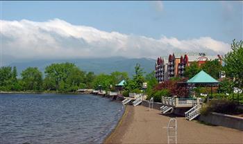
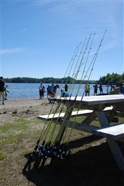
Available activities

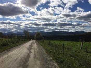
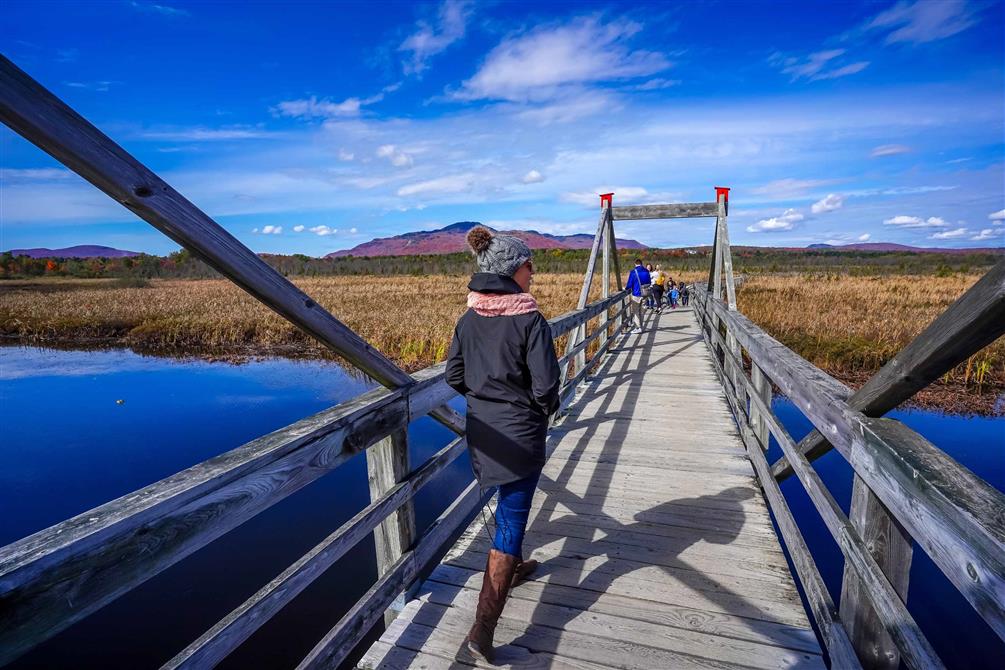
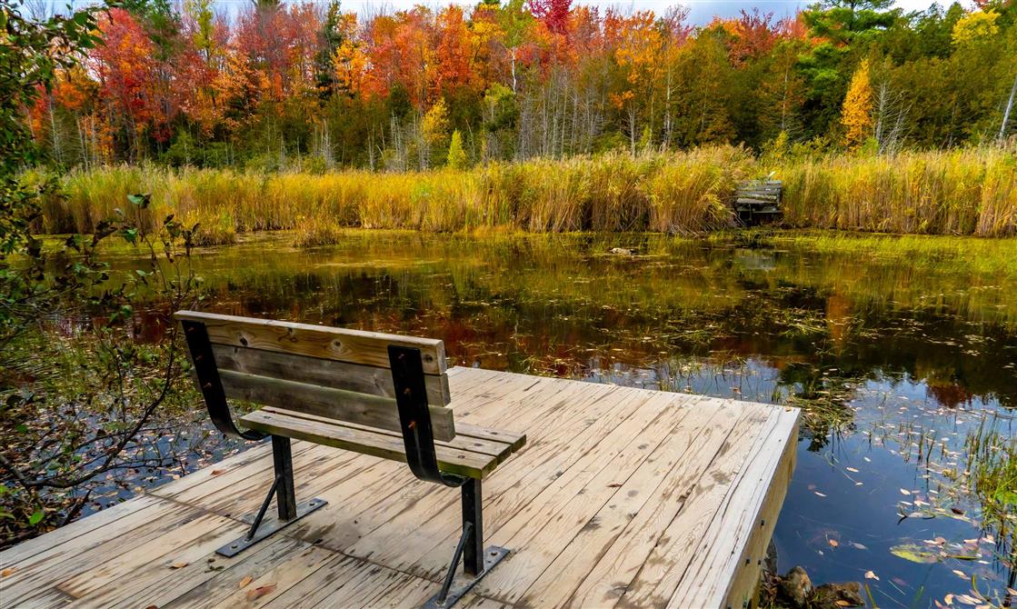
Hiking (specifications)
  • Total length of trails in summer (km): 5
  • Total length of trails in winter (km): 7
  • Easy trails (km): 7
  • Viewpoint : Yes
  • Closed during hunting season : Yes
  • Patrolmen, first aid : Yes
  • Trails types: marked
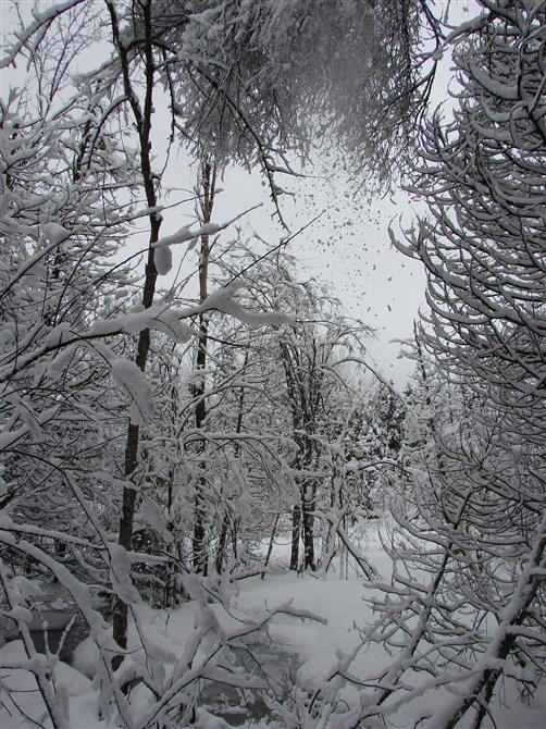
Snowshoeing (specifications)
  • Trails types: loop, linear

Services

Catering services
  • Picnic area
  • Café, tea room
  • Ice cream shop
Parking
  • Free parking
Payment methods
  • Cash
  • Direct payment
  • Master Card
  • Visa
Automotive services
  • Electric vehicle charging station

Nearby

Le Tomahawk grill - Estrimont

Orford

Distillerie Cherry River

Magog

Benito

Magog

Marché public de Magog

Magog

Au Vignoble d'Orford

Orford

Taverne 1855

Magog

X

Filters

X
Taste the Townships
Arts, culture and entertainment
Shopping
Lodging
Nature, sports and outdoor activities
Restaurants
Tourist routes
Family outing
Spa and wellness
Charging stations